Using the polygon mode
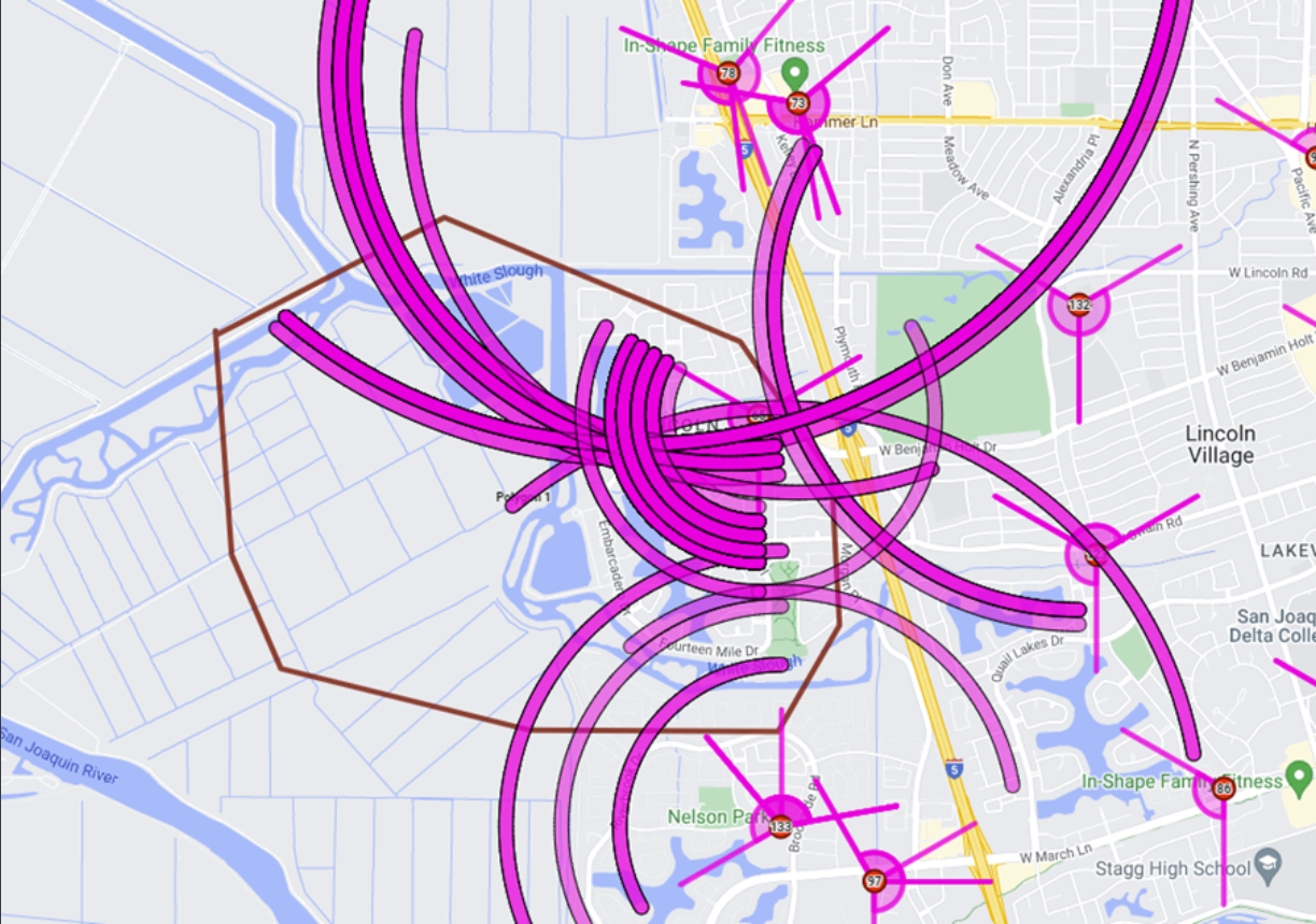
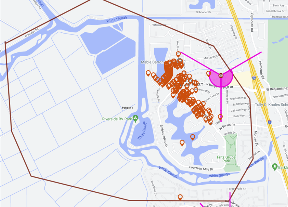
Polygon drawing mode allows you to draw polygons on the map which can be used for a number of reasons, for example to identify your drive area, create a target location, and to determine which data lies inside or outside the polygon, this can be helpful for example when you are analyzing where a target phone was based on timing advance or geo-location data.
You can also click here for a short video showing how to use map drawing mode, including the polygon drawing mode.
To use polygon drawing mode, hover over  on the top-right of the map, click
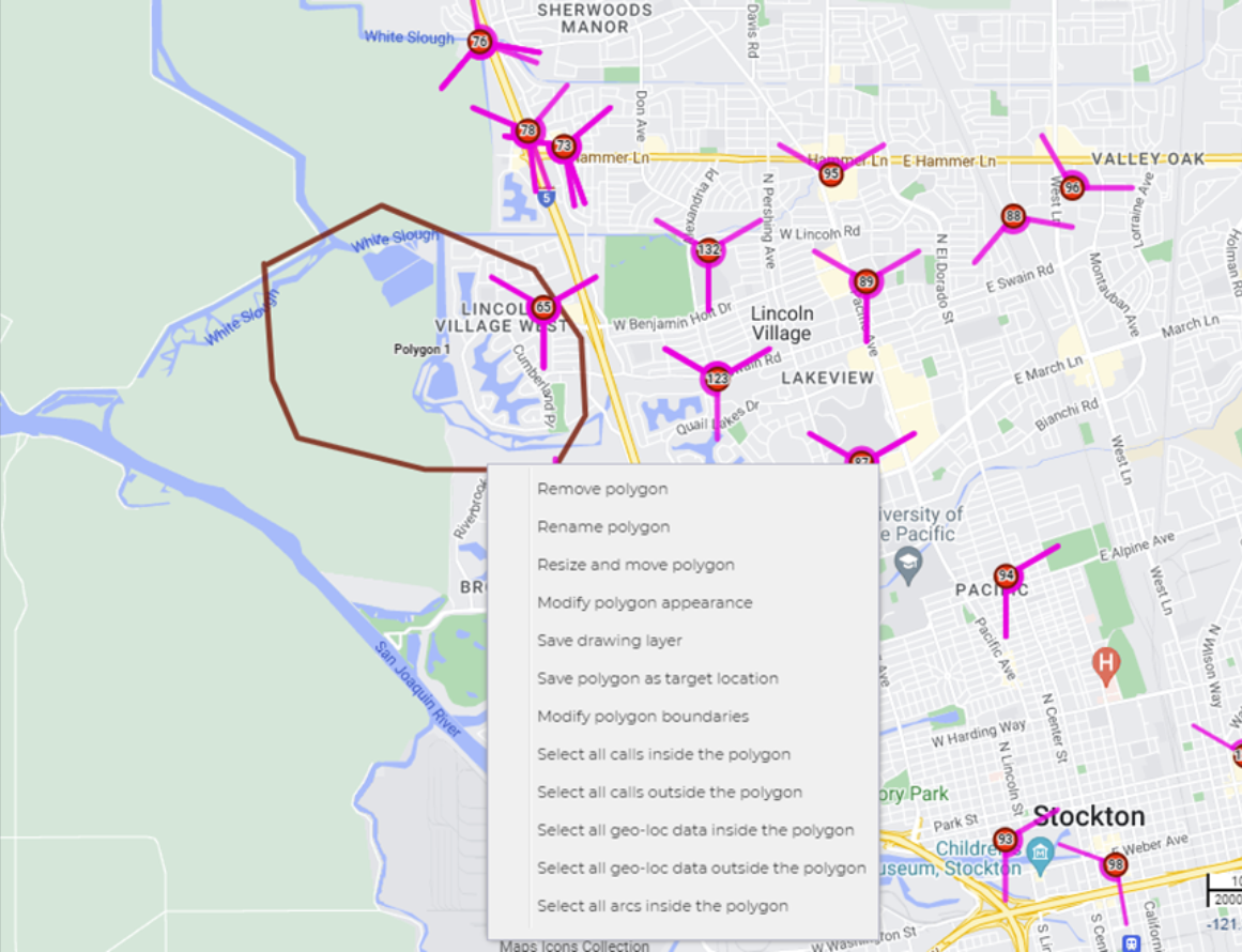
  then select Polygon from the menu. Left-click on the map to start drawing your polygon; left -click to create another point; double left-click to complete your polygon. Right-click inside the polygon to display a menu that provides you with options of how you can use the polygon and the data inside and outside the polygon.
-
Firstly, create your polygon, to do this:
- Hover over on the top-right of the map.
-
Click
then select Polygon from the menu.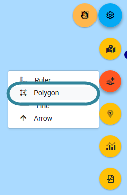
The map is now in the polygon drawing mode, and the
 icon turns from orange to white.
 -
Left-click on the map to start drawing your polygon. You can left-click to create another point on your polygon or double left-click to complete your polygon.
Once you've completed your polygon the map view returns to the normal map mode which is indicated by the hand icon returning to orange
.
- Hover over
-
Right-click inside the polygon to display a menu that provides you with options of how you can use the polygon and the data inside and outside the polygon.
The following links show procedures in which the polygon mode is used.
-
You can set the default appearance of your polygon's such as their color or line thickness, and also edit an existing polygon.
-
To set the default appearance:
On the ESPA analysis center's map view either:
- click
 then click Drawing appearance, or
 - right-click an area on the map where there are no sectors then click Drawing appearance.
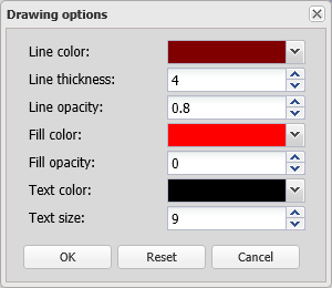
The Drawing options dialog box opens.
- click
-
To edit an existing polygon:
On the ESPA analysis center's map view right-click an area on an existing polygon, line or arrow then click Modify polygon appearance.
The Drawing options dialog box opens.
-